

Title photograph : Clitters mine engine house
BOOM ! During my walk this morning – walk no 9 (so it must be Friday) I heard the siren going at the quarry – which is another few hundred yards along the road from Clitters mine and then there was a muffled boom and the whole road shook – obviously this morning they were blasting at the quarry. Anyway today it made a welcome change to continuously being forced off the road by the professional taxi drivers whom, I have found, are heartily detested by anyone that lives in mandatory pedestrian mode around here or, like me, walks for exercise : even the local dogs seem to hate them !.
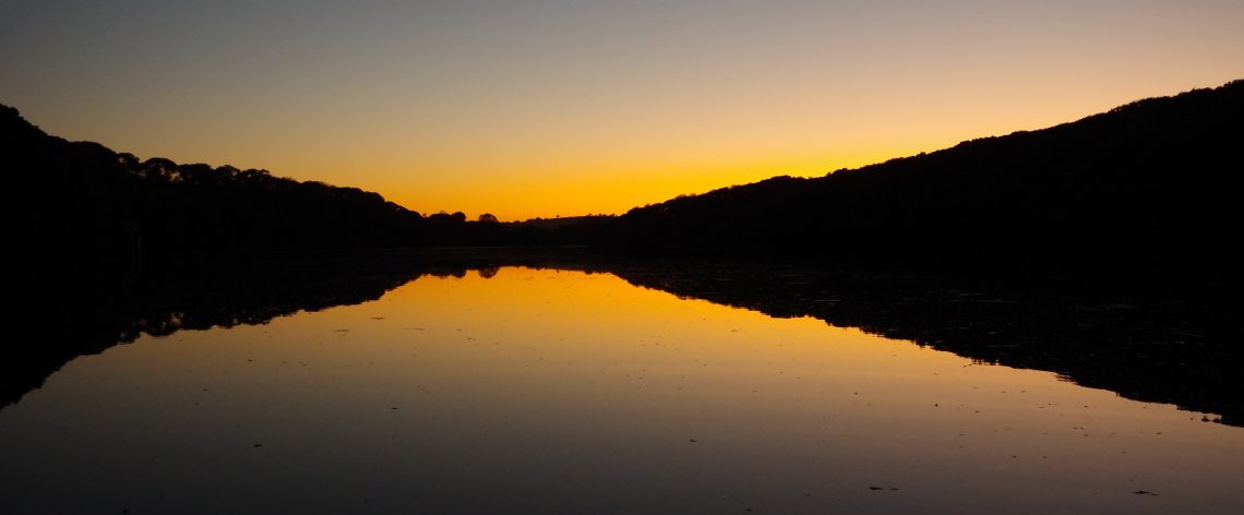
In today’s first walk my aim was to get up to the old railway bridge just beyond Clitters mine which was one of the main sites for the mining and processing of Arsenic – a valuable product in the late 19th century only the processing and collection was mainly done by hand and extremely toxic for the Balmaidens and particularly the children whose job it was to crawl around in the Arsenic maze cut into the hillside.
In my mind at least, the quarry and mine at Trungle Hole actually exists in far west Cornwall where the small village of Trungle really does exist today : for those that don’t know Cornwall at all it’s slightly west of Penzance/Newlyn which, even today is the terminus of the long railway route that starts in Londinium If I have it right you can still catch the night sleeper train out of St Pancras : it’s super expensive nowadays I guess. Most people think of Cornwall today as a venue for surfing and summer cottage holidays in cute little fishing villages such as Polperro, Mousehole and St Ives. It wasn’t always like that and during the mid nineteenth century it was the power house of industrial wealth with firstly Tin, then Copper and later Arsenic all being mined from deep hard rock mines only made possible by the advent of steam powered pumps. The mines at Levant, Geevor and Botallack are as much as 1,000 feet deep and run out for miles under the sea – all flooded now of course.
Today, Cornwall is a decayed county : poor and mostly bleak except for at the coast in the middle of summer. The mining has mostly gone although there are ambitious plans to extract Lithium and Tungsten – although the latter is actually in Devon – which is basically going foreign if you’re a Cornish worthy. My problem with Cornwall, in terms of boots on the ground research, is that I live hard up against the Devon border while the main mines are at the far west end – almost in the Atlantic. I can’t just take a long walk or bus ride to go see it all as Cornwall is basically a long and thin peninsular.
If the weather ever improves then we might take a late spring break and drive down there for a dirty weekend in which case I can go and photograph some of the buildings and their details that thus far iv’e only seen in video. The alternatives are to hit the internet of course (BTDT) or take a walk to the local mine and see what I can get from that. There’s actually a mine shaft at the bottom of our garden although all that’s left now is a capped and padlocked manhole cover. There is though the remains of one of the local Arsenic producing mines just up the road : Clitters mine and quite a few minor features such as a Gunnis and an open Adit just by the single lane bridge (Newbridge) over into pikey Devon.
My model/diorama needs a central feature that I work on the most, I could base it on one of the decayed mine buildings like the ones up the road – the problem being that when I saw them again during walk no 9 it was a very poor day for photography and the buildings had a very grey and sludgy visual appearance. What I want for a central feature model is something a lot cleaner and brighter, both as a thing to model and to represent the changeover period between steam and electricity for power : a lot of my thinking around it’s historical period then defines everything else in the model – for example the vehicles, the level of technology and even the clothing of the mine workers.
The best way of seeing the Taylor’s shaft pumphouse at east pool mine (it’s near Camborne) is either to go there as the Notional Trust now run it as a tourist site or look at it via Google maps : the photographs that they have used demonstrate to me why it would be such an excellent choice as a centre piece model. What the Google Maps photographs show me is how interesting and attractive the pumphouse and it’s surrounding structures would be as a model. Setting it in the transition period of railways would allow me to have small mechanical shunters moving ore trucks and mine related flat cars around the site and would then determine also the physical appearance and clothing of it’s workers and their vehicles : it would be a great excuse to model something like my late father’s first car, which was I think something like an Austin 7.
The combination of all of those things also sets the specific period : i’m making that the late 1950’s to early 60’s and I can’t say that I remember it well although I certainly went to Looe and Polperro on holiday and it’s my memories of those places that set the scene for Trungle Hole’s companion model which I have in my mind as Mousel (Mousehole) quay complete with a section of narrow gauge heritage railway a la Lynton & Barnstaple line.
